


It is important to exercise and get some fresh air in our lungs. We can do this without having to drive outside of your town or village.
You can adapt the walking routes below to make them shorter if you like.
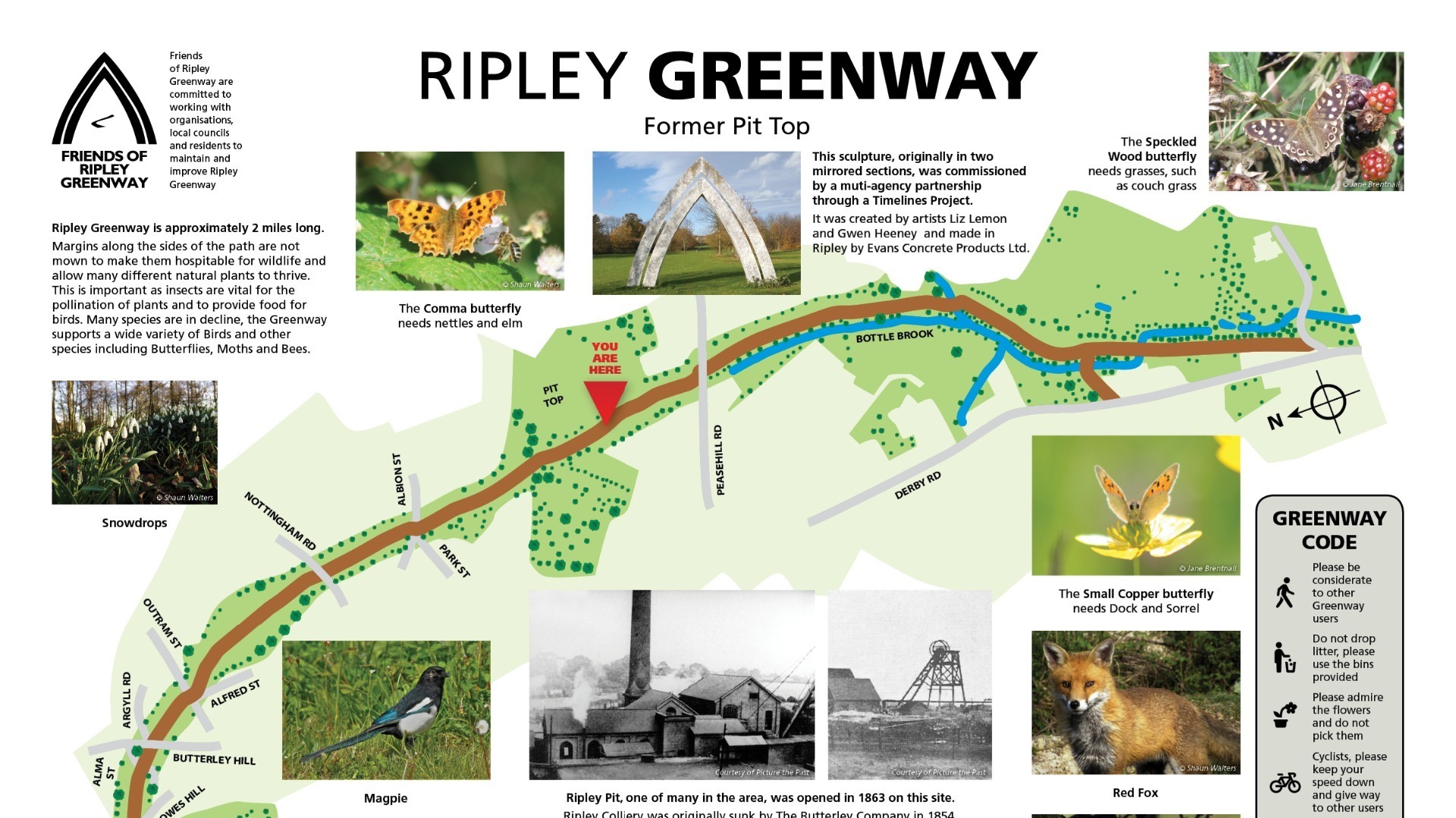
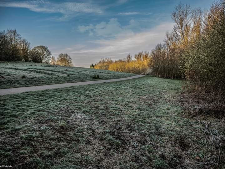
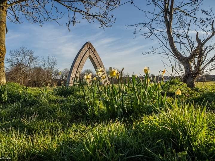
Ripley Greenway
Ripley Greenway is an off road multi-user route for cyclists, walkers and horse riders.
The site was created by the recovery of the disused Ripley Colliery and Ripley branch railway between 1974 and 1977 to give a lined route with nearby areas of open greenspace and plantations at Ripley and Marehay.
The main path was then improved and the Greenway now has a tarmac surface and street lighting from Outram Street south to Lumb Farm.
Various items of community artwork are installed along the route.
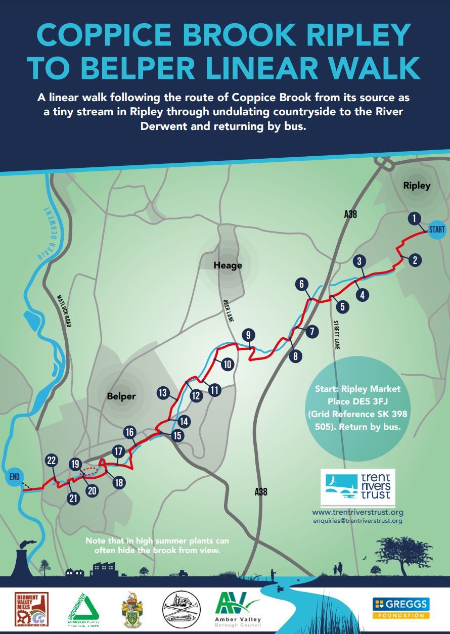
Coppice Brook Walk
A guide for a linear walk following the route of Coppice Brook from its source as a tiny stream in Ripley through undulating countryside to the River Derwent in Belper.
Distance: 5 miles (8 km)
Returning by bus: (Buses: Catch 6.2 or 6.3 bus from Belper town centre to Ripley Market Place.
These buses broadly follow the route of the walk, and would also allow you to do the walk in smaller sections.)
Time: Allow 3 hours
OS Map: Explorer 259 (1:25,000) Derby
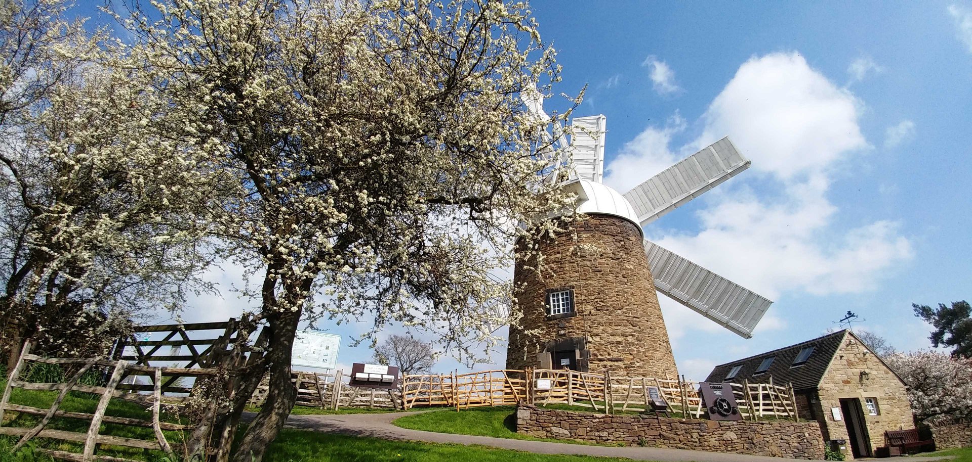
Heage & Nether Heage walks
Heage is infamous for the still active, Heage Windmill but it's not just about that. It is nestled between Belper and Ripley but we are lucky for it to belong in our Township.
It's surrounded by beautiful countryside and farmland from which Heage grew in the agriculture industry. It has several public houses, churches, a Village Hall, a primary school, a few local shops and a village brass band! International company, Bowmer and Kirkland have a large site in Heage and employ many local people.
There used to be a Prisoner of War camp based in Nether Heage during the Second World War until 1953 when LB Plastics took over the site. That has now gone and the land will be used for housing development.
|
Walk |
Time |
Distance |
Walk Type |
|
Allow 3 hours |
5 miles / 8km |
Undulating Countryside, level along the canal |
|
|
Allow 3-4 hours |
4 miles with a 6 mile option |
Moderate, hillside and valley footpaths |
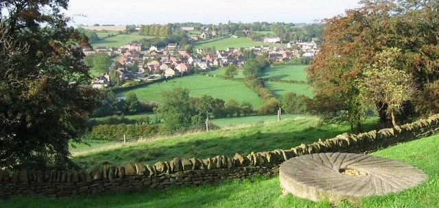
Ambergate Walks
Ambergate sits on the River Amber within the Ripley Township in Derbyshire. It is within the Derwent Valley Mills UNESCO World Heritage site, and has historical connections with George Stephenson - the civil engineer and 'Father of Railways'.
Ambergate has an active community life, particularly centred on the school, pubs, churches, sports clubs and the annual village carnival. It is situated on the A6, which is the main road to Belper, Derby and in the opposite direction, Matlock.
|
Walk |
Time |
Distance |
Walk Type |
|
Allow 3 hours |
4 miles / 6.8km |
Hilly countryside with several steep climbs, passing quarry edges. |
Lower Hartshay Walks
Lower Hartshay sits in a valley around one mile outside of Ripley. It's a very small village with no through road to anywhere else. It's effectively one large cul-de-sac!
The quaint little village is mainly houses with a pub at it's heart and plenty of green land.
|
Walk |
Time |
Distance |
Walk Type |
|
Allow 2 hours |
6 miles / 9.2km |
Moderate |